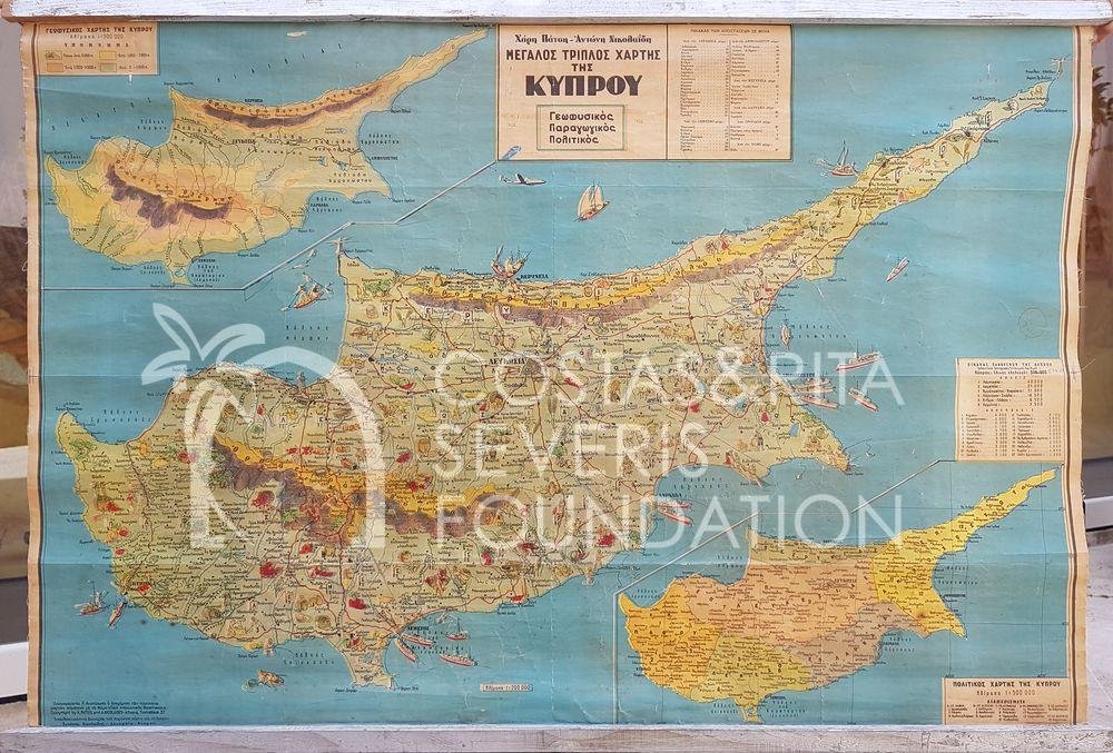
Map of Cyprus
Creator:
Patsis, Charis S. Nicolaides, Antonis
Ημερομηνία:
20th century
Medium:
Places:
Description:
A beautiful map of Cyprus in colour, showing all the districts and mountains of the island, but most interesting, having small cartouches of the products of each area, village or town. The map is in Greek and was published in Greece by two Cypriots.
Dimensions:
69 x 99 cm
Signature(s):
Unsigned
Subject:
Identifier:
PNT-00034
Classification:
Collection:
Object Type:
Rights Holder:
© Costas and Rita Severis Foundation
Rights Statement:
The Costas and Rita Severis Foundation holds or manages the copyright(s) of this item and its digital reproduction. If you need information about using this item, please send an email to research@severis.org
We're always looking to improve our records, so if you have any information about an object or recognize any of the people, locations, monuments in the photographs, please give us details in the form provided here.

